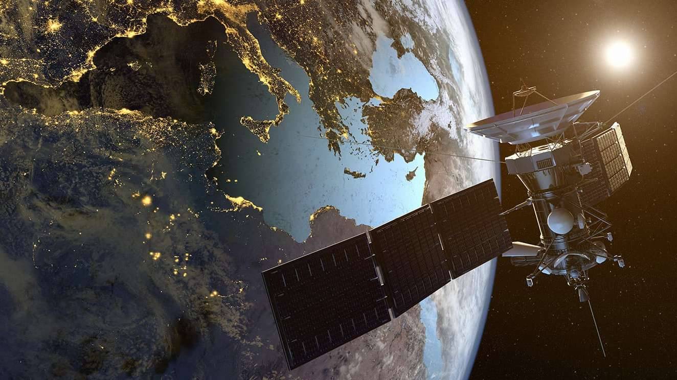
Using Satellite Imagery to Track Pollution
ARTICLES | Jun 23, 2020
Heat-trapping gasses, such as methane and carbon dioxide, have been identified as culprits for the ever-rising temperatures on Earth. In an effort to reduce the emissions of these dangerous gasses, scientists, governments, and private companies alike are turning to satellite imagery to identify main sources of the emissions.
Modern industrialization produces greenhouse gasses at a rate up to 250% greater than during pre-industrial times. While there have been significant benefits and achievements made as a result of increased industrialization, they have come at a heavy cost. Since 1880, average Earth temperatures have increased at a rate of 0.07°C (0.13°F) per decade, though from 1981, this increase by decade is (0.18°C / 0.32°F), or more than double. This means that the last 40 years of industrialization have accelerated the rate of global warming, which many believe is due to increased emissions of heat-trapping gasses. These satellites may prove crucial to impeding such drastic global warming.
Governments are using these satellites to track and measure emissions in real-time. This gives climate scientists accurate and updated data for them to further track greenhouse emissions and to produce more accurate projections. This empirical data will in turn be used to inform policy makers whose decision will shape the future. Governments now have the tools to make meaningful policy changes to tackle pollution.
Private companies are approaching this technology from a different angle, albeit under the same umbrella of using satellite-imagery to lower greenhouse emissions. This level of imaging can pinpoint gas leaks and alert companies to their location, thereby improving response times and saving companies millions of dollars in lost product. Additionally, they will be able use the data they collect about their own output and make internal policies to reduce their emissions.